
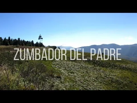
FROM EL ZUMBADOR TO CASA DEL PADRE Trekking on the Táchirense Páramo
The Libertadores Route is one of the pedestrian-type mountain trails that can be done in Táchira State.
The goal was to explore part of the historic route that the Liberator Simón Bolívar and his army made in their way through the Venezuelan Andes in the "Campaña Admirable" a military action framed within the War of Independence of Venezuela. So the tour besides offering beautiful landscapes allows to remember part of venezuelan history.
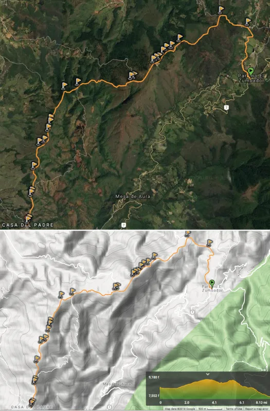
In this case, the route was done in descent; from the sector of "El Zumbador" to "Casa del Padre". It consists of about 15km, with height differences between 9,180f at the highest point and 7,552f and at their lowest. This route is also part of the Zumbador Trail a mountain race in the 42km format.
Libertadores Route. Táchira State, VE. Ph: Emanuel L.
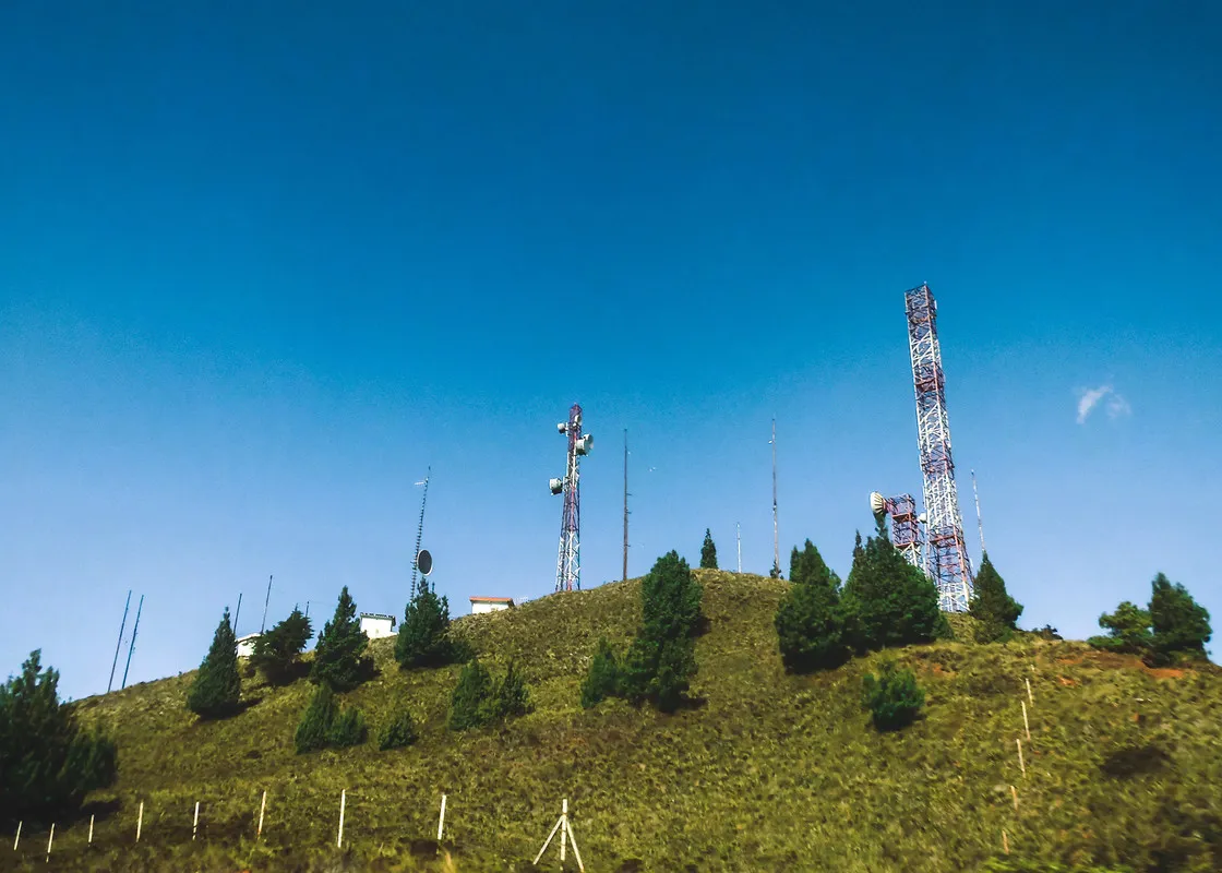
The route begins in the Páramo El Zumbador at about 2500masl (meters above the sea level). This is the highest point of the trans-Andean highway in all of Táchira State. The place is known for the peculiar buzzing sound produced by the strong gusts of wind that cross the mountain, hence the origin of its name "El Zumbador" which translated it would be something like "The Buzzing". In the surroundings there are country houses, fields and some forests. The high mountain landscapes and andean rural life are the predominate views.
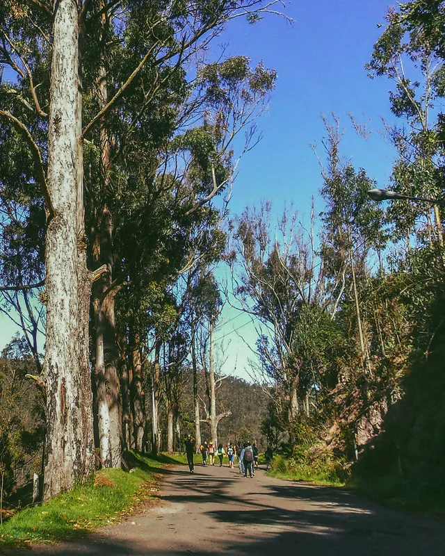
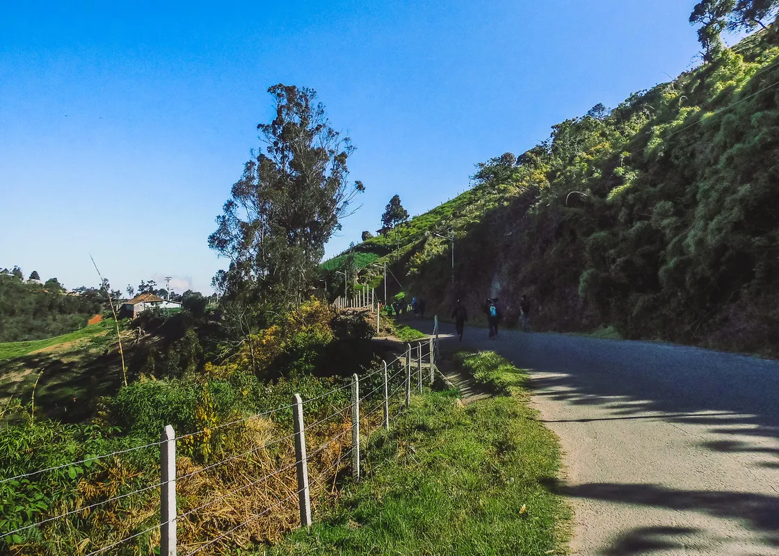
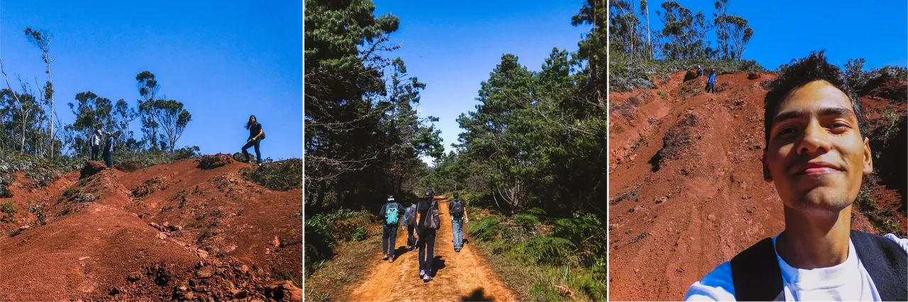
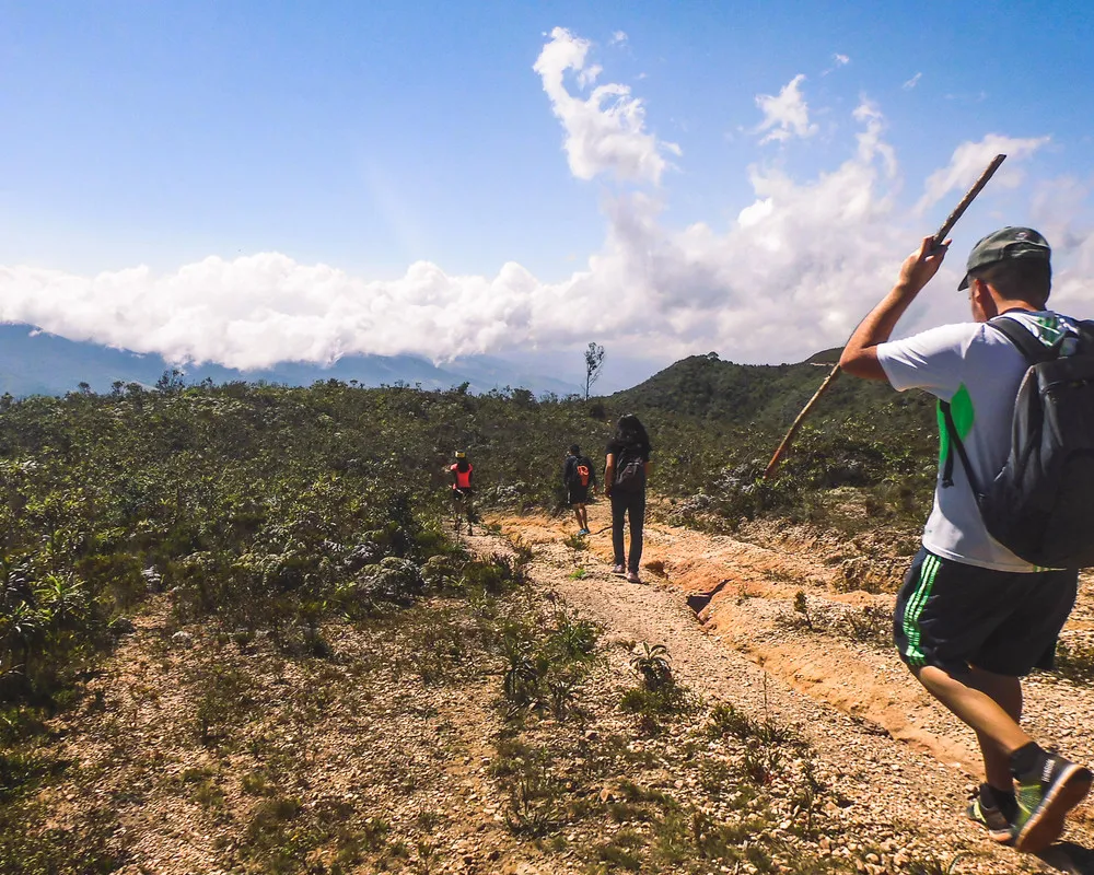
We arrived at the place early in the morning and started the route immediately. The excursion group consisted of about fifteen people; among them my friends Paola, Alfredo and Gabriel. The first part of the route is on the asphalted road that extends for about 6km until an intersection with the dirt roads that go to "Casa del Padre" and continue down the mountain.
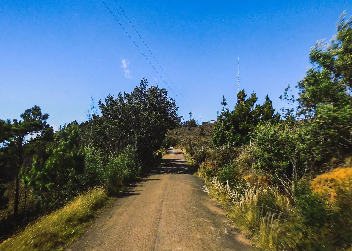
During this track we decided to "pedir la cola" - the venezuelan way of hitchhiking - just to save some time to explore better the route by the dirt trails; It did not take long for a truck to stop and get us closer. From the truck's hopper I managed to take some pictures of the landscape in motion and the road stretching to the horizon...
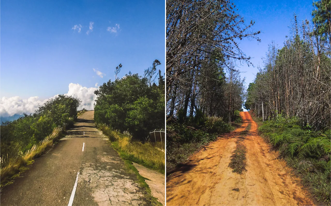
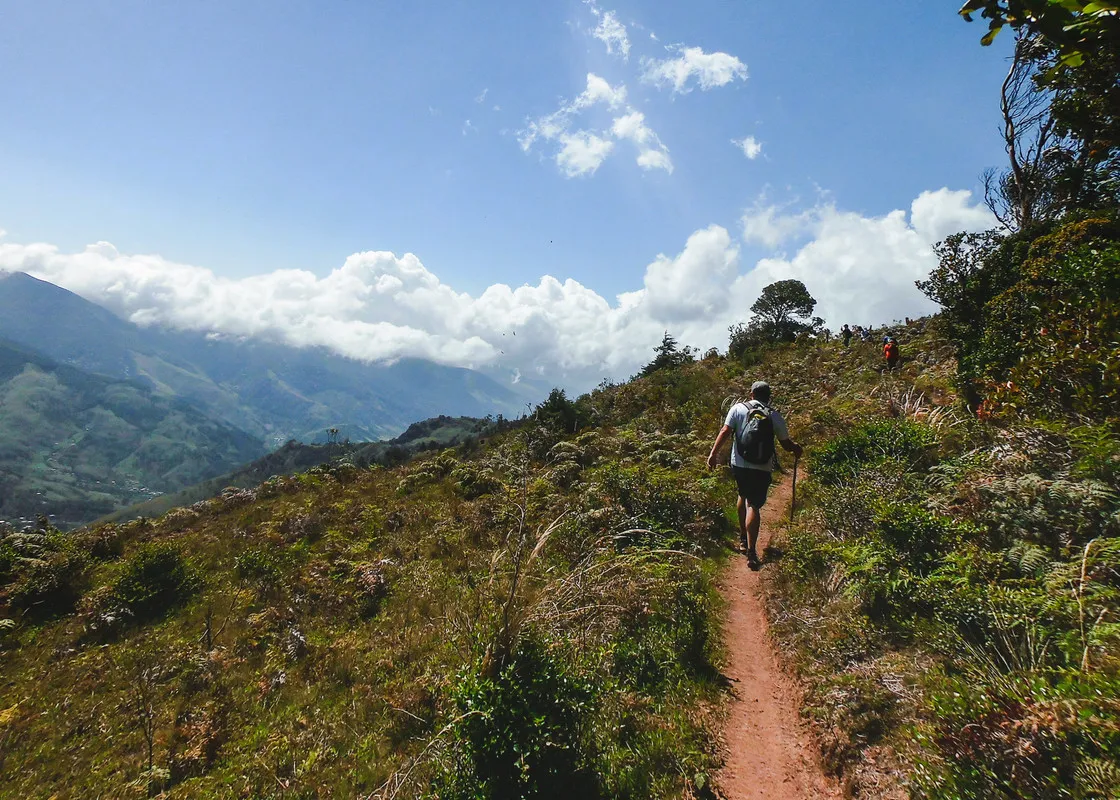
As we left the asphalt road entering the clay paths, the vegetation becomes thicker and diverse, from pine forest till wild berries bushes. My friend Paola made a short clip about that day's adventure:
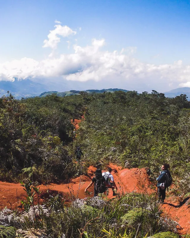
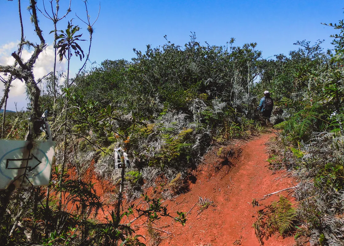
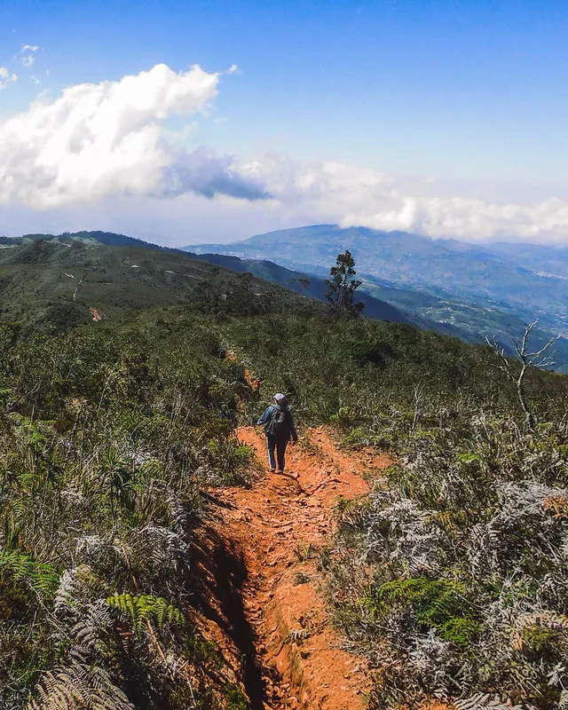
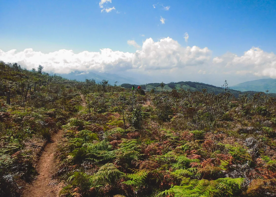
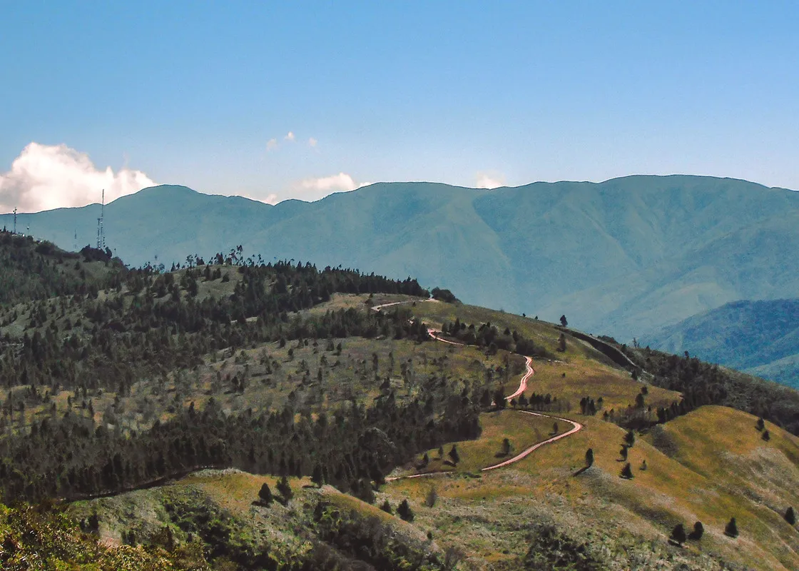
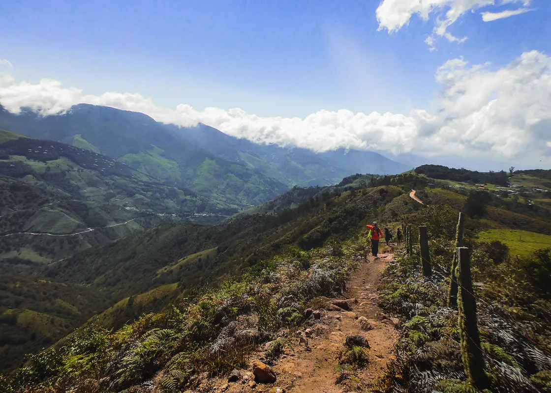
As you go down the mountain, the contrasts become evident, the arid and dry roads vary between mustard and ocher tones, highlighting the intense greens of the pines and bushes that are seen throughout the journey. While the trail of reddish earth stretches like a snake that slides in the mountain and gets lost between the bushes.
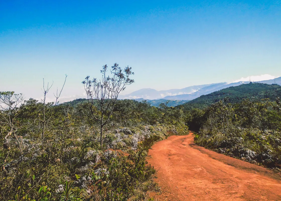
Final part of the road. Arriving to Casa del Padre. Camera BENQLH500 | All photos taken by me.